Transportation
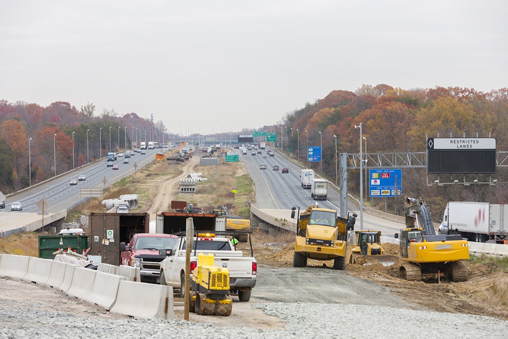
Geotechnical experience delivers missing link between two key highways in Maine
6 miles
of new roadway constructed
36,000 prefabricated vertical drains
installed during embankment construction to limit post-construction settlement
90 million
12-ounce glass bottles diverted from landfills by using recycled-glass fill
Summary
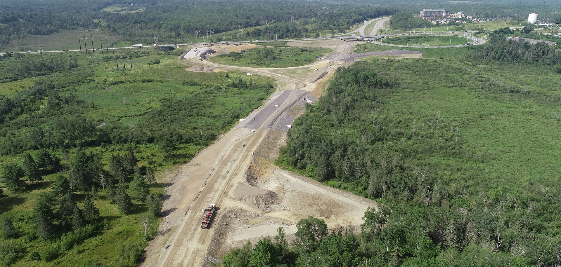
- The Maine Department of Transportation (MaineDOT) planned to build a new six-mile-long highway in southern Penobscot County, Maine. The highway would connect Interstate 395 and Route 9, easing congestion, mobility, and safety problems in downtown Brewer.
- MaineDOT needed a design solution that could be built safely, meet project schedule demands, and meet post-construction settlement requirements for portions of the alignment constructed over highly compressible, low-strength marine clay soils present along portions of the alignment.
- Using both traditional and cutting-edge methods, the Haley & Aldrich team conducted a field investigation to understand the precise characteristics of the subsurface.
- We then collaborated with MaineDOT and project stakeholders to develop a design and construction process that would deliver stable roadway embankments and meet the project budget and schedule.
Client challenge
MaineDOT planned to build a new six-mile-long highway through three towns in southern Penobscot County, Maine — the employment hub for the region and an important route for moving goods between U.S. and Canadian markets. The highway would connect Interstate 395 and Route 9, easing congestion, mobility, and safety problems.
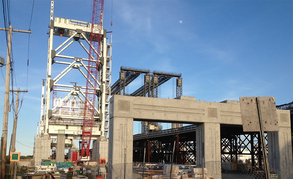
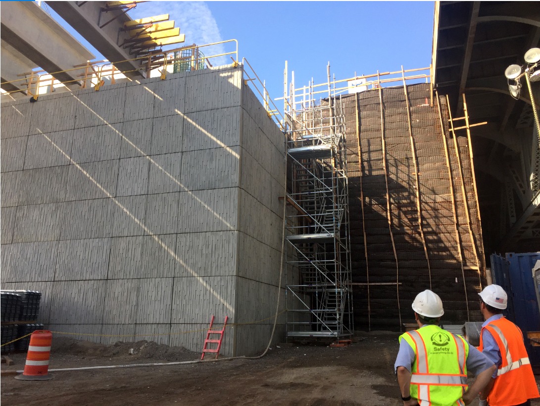
The plan called for six bridges, 11 culverts, and a roadway that required grade raises of up to 35 feet on new embankments. MaineDOT needed a design solution that could be built safely, meet project schedule demands, and meet post-construction settlement requirements for embankments constructed over highly compressible, low-strength marine clay soils present along portions of the alignment.
Through a qualifications-based selection process, MaineDOT selected Haley & Aldrich as the geotechnical engineer of record for this critical project because of our long relationship with the department and our decades of experience designing and constructing bridges and embankments over the challenging subsurface conditions present along the project alignment.
Our approach
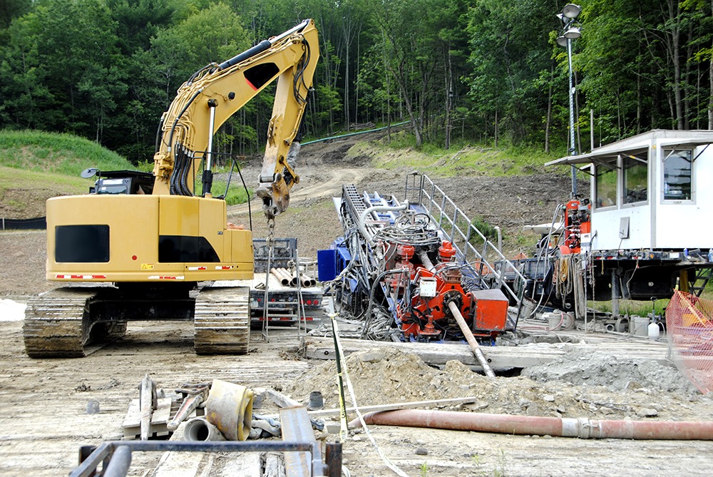
The Haley & Aldrich team began by conducting a thorough and phased field investigation. In addition to drilling 250 conventional test borings, we used Advanced Geotechnical Methods in Exploration (A-GaME) grant funding from the Federal Highway Administration (FHWA) to incorporate more cutting-edge exploration methods, including 22 cone penetration tests (including shear wave velocity and dissipation tests), downhole geophysical logging (i.e., acoustic televiewer and optical televiewer) logging in 14 borings, and five passive shear wave velocity profile lines.
The advanced exploration methods provided a more thorough understanding of the subsurface than we could have gotten using only conventional approaches. Armed with that knowledge, we could optimize the design and construction methods for the challenges of the site, manage risk proactively, and avoid costly, disruptive surprises during construction.
The compressible marine clay soils are susceptible to excessive settlement and global instability issues caused by embankment construction, either of which would have a significant impact on the project. To address these challenges, we worked closely with MaineDOT and the project’s design and construction teams to develop and select a cost-effective, constructible approach to the bridge, culvert, and embankment design. After considering several alternatives for embankment support, we decided on an approach that combined the best elements of many options — which would also enable us to reduce overall construction duration and reduce impacts on nearby structures.
This hybrid approach called for staged embankment construction: placing some normal-weight earth fill, then letting underlying marine clay consolidate and strengthen before placing more fill in subsequent stages. Prior to fill placement, 36,000 prefabricated vertical drains — totaling about 845,000 linear feet — were installed to accelerate the consolidation of the clay, which cut down on construction hold times. The approach also incorporated placement of approximately 77,000 cubic yards of an ultra-lightweight foamed glass aggregate (FGA) fill made from recycled glass in the final stage of embankment construction — an amount that would divert roughly 90 million 12-ounce bottles from landfills.
In addition to benefiting commuters throughout the region, the new roadway was designed with wildlife in mind: It incorporated two dedicated wildlife crossings to minimize disruption to local animal populations.
Value delivered
- With collaboration and a practical solution, contributed to the construction of a critical piece of infrastructure within schedule, budget, and MaineDOT’s risk tolerance
- Used A-GaME grant funding from the FHWA to improve site characterization, optimize design, and mitigate risk
- Reduced waste and the project’s environmental footprint by using FGA; at the time of completion, the project will be MaineDOT’s first to use FGA and will be the second-largest FGA project completed in North America
For more information, contact:

Program Manager, Geotechnical Engineer

Program Manager, Geotechnical Engineer
Related Projects
Our expertise helps reclaim a former shipyard to construct LEED Gold Certified…
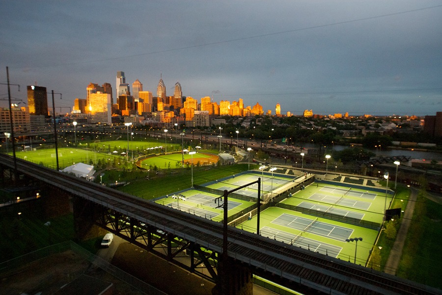
Creative geotechnical solutions connect campus to downtown Philadelphia
Haley & Aldrich helps a college overcome community opposition to transform landfill…
Our approach helps client reduce costs and complete pre-construction planning in record…
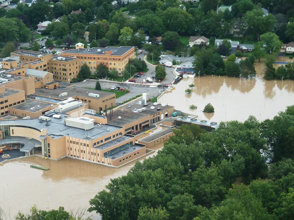
Forward-thinking geotechnical expertise helps protect New York hospital from flooding
Innovative planning turns stubborn landfill into profitable regional asset
Our geotechnical experts design enduring bridge foundation under tight schedule
Federal Realty Investment Trust saved millions on development project with our first-of-its-kind…
Geothermal design and innovative approach allow for many benefits at the Portland…
We help NYSDOT reduce construction time on high-profile Kosciuszko Bridge design-build project
Marine geotechnical engineering expertise fortifies the USS Constitution’s berth for generations